
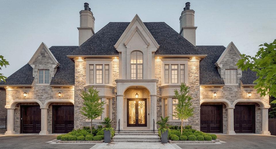
 Surveys with RICS-Grade Detail


Measured Surveys FAQ
What is a measured building survey?
Who provides these measured survey services?
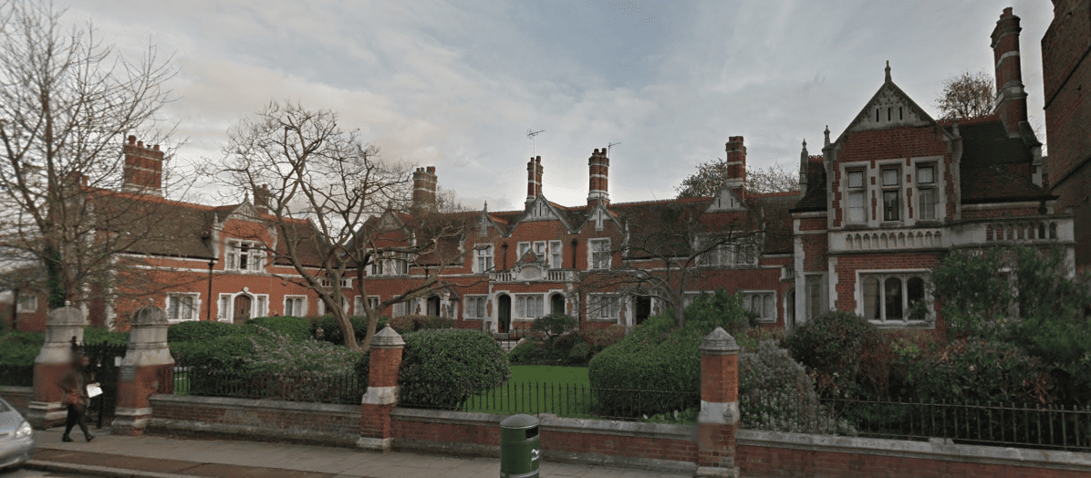
Our coverage area
This includes Barking and Dagenham, Barnet, Bexley, Brent, Bromley, Camden, City, Croydon, Dartford, Ealing, Enfield, Greenwich, Hackney, Hammersmith and Fulham, Haringey, Harrow, Havering, Hillingdon, Hounslow, Islington, Kensington and Chelsea, Kent, Kingston-upon-Thames, Lambeth, Lewisham, Merton, Newham, Redbridge, Richmond-upon-Thames, Southwark, Sutton, Tower Hamlets, Waltham Forest, Wandsworth, and Westminster.
We also cover the surrounding areas including Buckinghamshire, Berkshire, Oxfordshire, Essex, Hertfordshire, Kent, Middlesex, Surrey and beyond for any medium-to-large scale commercial and residential projects.
Do you provide measured surveys in my London borough?
How long does a measured survey take?
- Property size and Gross Internal Area (GIA).
- Required Level of Detail (LOD).
- Whether the survey is internal, external, or both.
- Building complexity (e.g., intricate architectural elements, ceiling beams).
- Whether the property is currently occupied, furnished, or vacant.
Our 3D scanning process is entirely non-intrusive, allowing us to capture data quickly and safely without disrupting your daily operations.
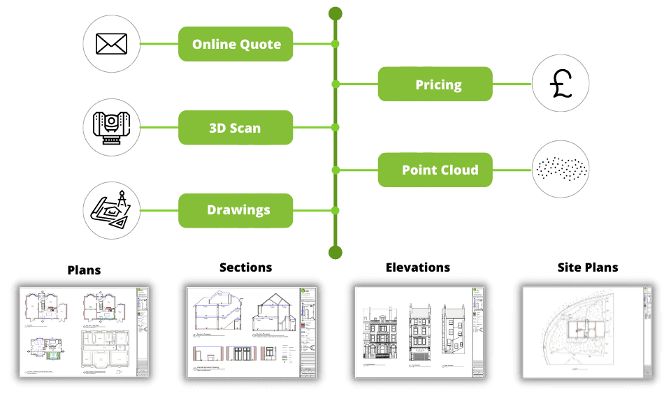
Measured survey process & stages
- 1. Consultation & Quote: Request a quotation and receive a detailed proposal within 20 minutes.
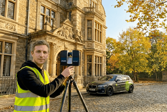
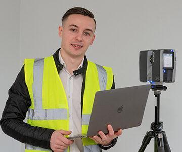
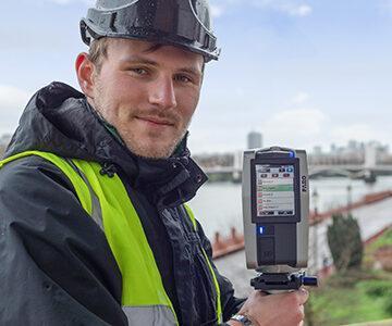
- 2. Site Visit: Our expert surveyors visit the property to capture comprehensive Point Cloud data using 3D laser scanners.
- 3. Data Processing: We register the scans and draft accurate 2D CAD drawings or 3D BIM models.
- 4. Quality Assurance: Every drawing undergoes a strict internal technical audit to guarantee millimetre accuracy.
- 5. Delivery: Final files (DWG, PDF, RCP, RVT) are delivered to you securely, typically within 3-5 working days.
Why use 3D Laser Scanning instead of manual measurements?
Tape Measure & Disto Laser
Traditional manual methods are slow, require multiple people, and are highly prone to human error. Missing a single dimension often requires a costly return visit to the site.
Total Station
A highly precise device for establishing control points, but it is slow for capturing complex interior details and architectural curves.
3D Laser Scanner (Our Method)
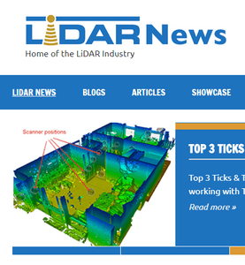
This is the industry standard for accuracy and completeness. The process involves:
- Setting up the scanner in multiple positions to eliminate blind spots.
- Capturing all distances at 360-degrees at a speed of up to 1 million points per second.
- Generating a complete 3D Point Cloud, ensuring 0% human error and +/- 2mm accuracy.
To guarantee the highest quality data for our clients, Measured Survey PRO exclusively uses 3D laser scanning technology for all projects.
How much is a measured building survey in London?
- Property size and number of floors.
- Required deliverables (2D AutoCAD vs 3D Revit BIM).
- Required Level of Detail (LOD).
- Site location and building complexity.
For a detailed breakdown of our pricing structure, please see our measured survey cost guide.
What information is required to get a quotation?
- Full property address (to review site access and building footprint via Google Maps).
- Existing estate agent floor plans or photos (if available) to evaluate internal complexity.
- List of required deliverables (e.g., Floor Plans, Roof Plan, 4x Elevations, 2x Sections).
- The purpose of the survey (e.g., planning permission, heritage listed consent, interior redesign) to advise on the correct Level of Detail (LOD).
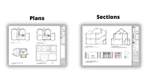
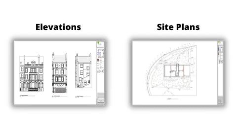
Examples of our measured surveys
PDF Example,
Point Cloud Example,
DWG Example 1,
DWG Example 2,
DWG Example 3.
You can also explore our portfolio of completed projects.
What is included in the As-Built CAD drawings?
- Floor Plans – Structural walls, door swings, window sill and head heights, floor levels, sanitary equipment, and structural columns.
- Roof Plans – Ridges, valleys, pitches, parapets, chimneys, and skylights.
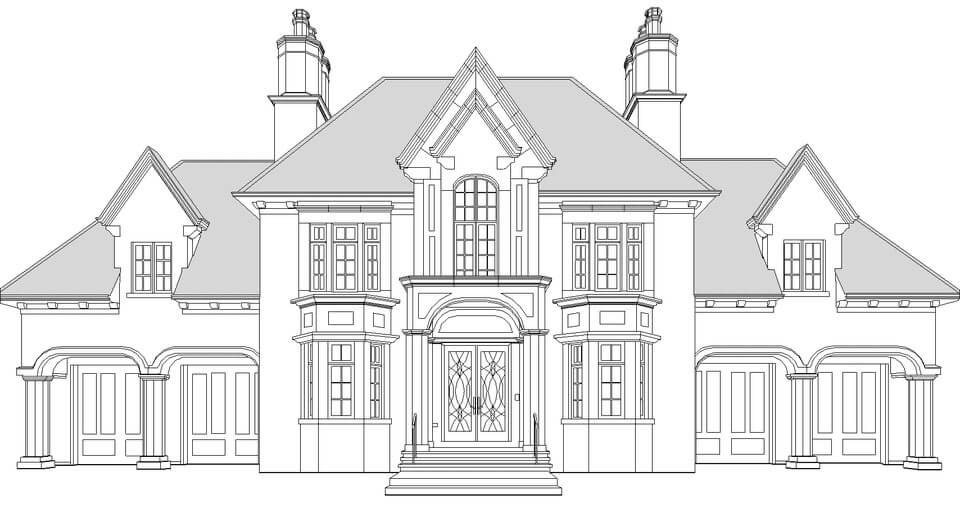
- External Elevations – Accurate representation of window/door placements, roof lines, rainwater goods, and external finishes.
- Ceiling Plans (RCP) – Lighting layouts, exposed beams, bulkheads, and HVAC elements (if requested).
- Cross Sections – Floor-to-ceiling heights, floor thicknesses, staircases profiles, and roof structures.
What software do you work with?
- Faro Scene: For registering 3D laser captured scans into highly accurate Point Clouds.
- Autodesk ReCap PRO: For processing Point Cloud data (RCP/RCS formats) and extracting TrueView 360° imagery.
- Autodesk AutoCAD: For the precise production of 2D As-Built CAD drawings (DWG format).
- Autodesk Revit: For generating intelligent 3D BIM models (LOD 200 – LOD 400) directly from Point Cloud data.
