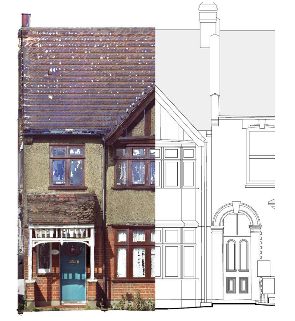
Location: London E10
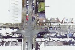
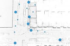
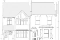
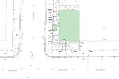
Scope of works: External site plan with levels and external elevation drawings
Timeframe: 1 day on-site, drawings ready within 3 working days
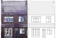
Point Cloud to As-Built Elevation
(Slide the bar from side to side to see the transaction effect)
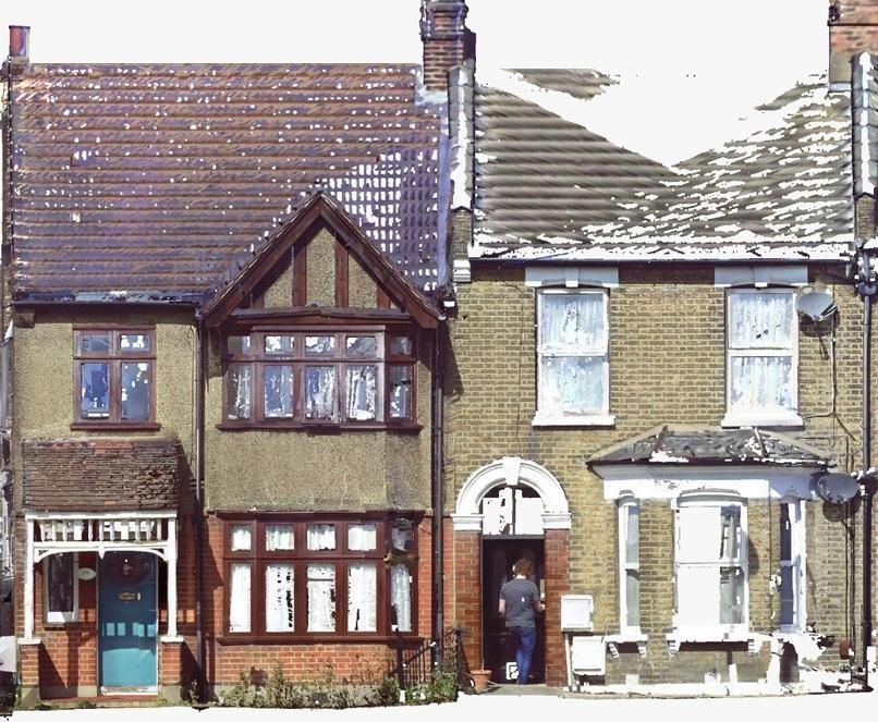
On this project we only scanned the external areas of the house and its nearby areas. As externally there is much greater amount of detail to capture, the scans were set to colour and higher resolutions compared to what we use internally. There are both, benefits and some disadvantages of using higher resolution scans. The benefits are of course high-resolution photorealistic point cloud capturing all data at the range of 130 metres. The disadvantage is the size of the point cloud being far greater compared to the black & white point cloud, making some computers struggle to run the files smoothly.


2 comments
My dear
It’s Great work , I would ask you , How you make the orthophoto it’s seems 100 % like the elevation .
Thanks
Dear Bashar,
We do our orthophotos using Faro Scene software, which recognises x, y and z coordinates allowing us to create a perfect orthophoto.
Many thanks,
Chris