
Highly accurate 3D data capture for architectural, engineering, and construction projects.
What is a Point Cloud?
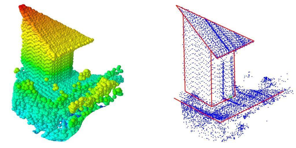
Technically, a point cloud is a set of data containing points located in a 3D x, y, and z coordinate system. However, from a practical point of view, the main importance is that the point cloud is the most precise digital record of an object or space formed as a very large number of points covering the surfaces of the object.
The individual points in point clouds are always positioned on the external surfaces of visible objects, as these are the areas where the laser beam from the scanner is reflected. If the density of individual points is high enough, a point cloud can be visually perceived as a continuous surface. However, if you zoom in, it can be clearly seen that the image is made of separate individual points.
Please note that a point cloud is a set of separate, unrelated points that have a specific position and color. This makes it easy to edit, display, and filter point clouds in CAD software. Point cloud points are also the simplest objects in terms of processing, as the computer only needs to calculate position and color, without needing to process complex geometry ratios.
How Does a Point Cloud Survey Work?
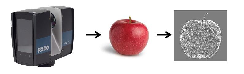
The main factor in collecting data for a point cloud is having good visibility of the scanned areas and surfaces. 3D laser scanners work by sweeping a laser beam in all directions, usually 360° by 300°. The scanner calculates the distance to an object by measuring the time it takes for the laser beam to hit an object and bounce back. Therefore, it is not possible to obtain points from surfaces that are hidden from the scanner.
This means that in most surveys, to cover the entire object of interest, it is necessary to perform scans from several different positions and then combine the scans into one master file.
The term “density” is used to describe the resolution of a point cloud, which usually refers to the distance between two points. Most point clouds are formed not only with position data but also with descriptions of visual properties, such as RGB colors and reflectivity. Each of these factors affects the time required for the on-site laser scanning survey, as well as the size of the final processed output file.
Point Cloud Survey into Revit & CAD
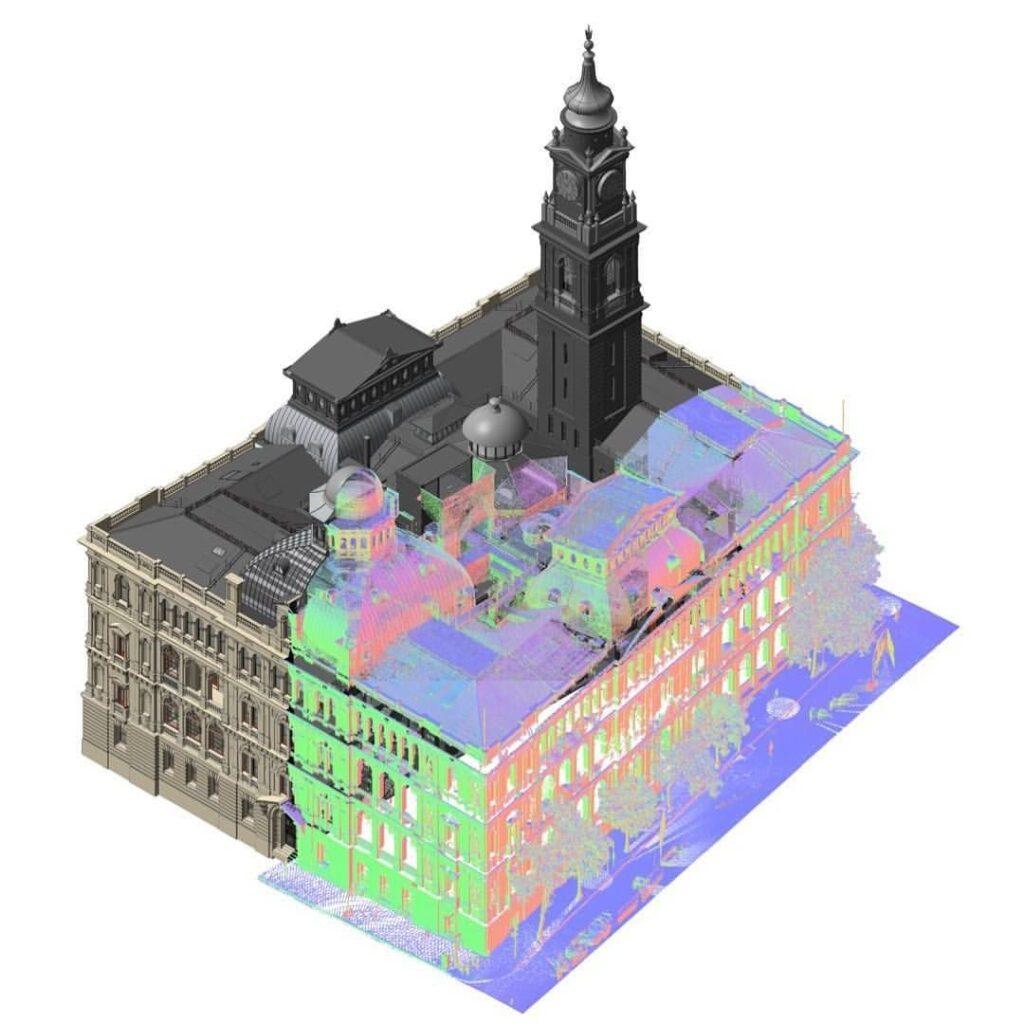
Point cloud support is implemented in all major CAD and BIM software packages, such as Autodesk Revit, AutoCAD, and Archicad. This technology is widely used in various engineering and construction fields.
Point clouds can be imported directly into CAD software and used as highly accurate background references. As a result, the most detailed 2D floor plans, elevations, and 3D BIM models can be created by tracing over the point cloud data with millimeter accuracy.
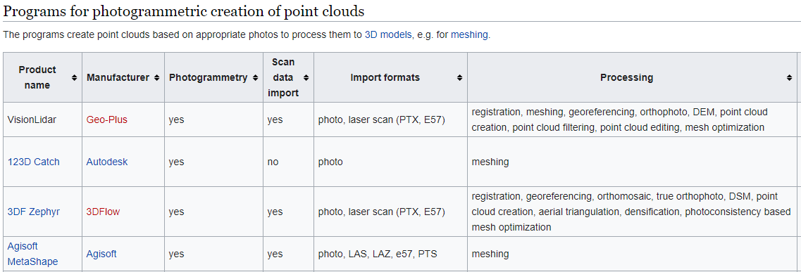
Point Cloud Survey Software
There are nearly 40 different software programs from various manufacturers designed for processing and viewing laser-scanned data. Every software is different in terms of pricing, capabilities, and limitations. It is important to note that the majority of these software solutions are only available for the Windows platform, limiting Mac OS and Linux users.
Point Cloud Survey Equipment
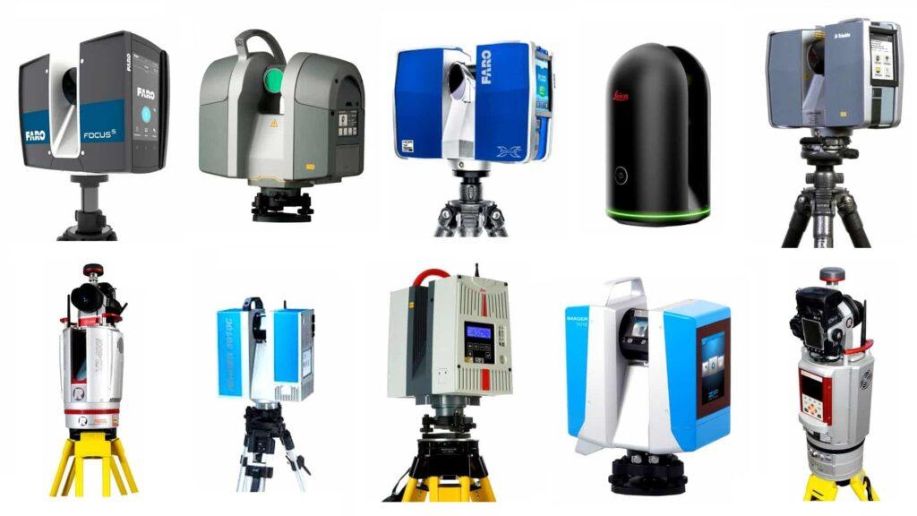
There is a large number of point cloud survey equipment available on the market. To achieve the best results, we utilize industry-leading technology. The most popular manufacturers include:
- FARO Focus
- Leica Geosystems
- Trimble
- Z+F IMAGER
- Topcon
How Much Does a Point Cloud Survey Cost?
The point cloud survey cost depends on the size of the property and its complexity. For small projects in the UK, costs can start from around £350. For a standard commercial or residential project in London, prices typically start from £495 + VAT.
The exact cost is calculated individually for each project based on your required deliverables. You can request an online quote, and our team will calculate the exact cost for your site within 30 minutes.
Examples of Our Point Cloud Surveys


