
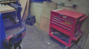
What is a point cloud? – A point cloud is the result of laser scanning.
A ground-based laser scanner rapidly measures the distance from the scanner to the object’s surface. The device automatically registers the corresponding dimensions and generates a three-dimensional image in the form of a point cloud (most models take 3D photographs at the same time). This cloud can be uploaded into various programs for further processing. One of the most popular laser scanning processing software is Autodesk ReCap.
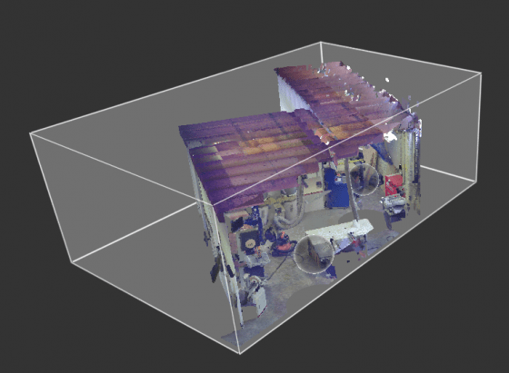
In ReCap, users can either “fly” through the cloud or move around the scan points and view 3D photos. Users can also measure any distance in 3D photos and directly in the cloud itself and get the coordinates of any point in the cloud.
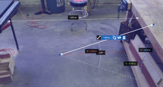
ReCap also makes it possible to cut off unnecessary parts from the cloud.
Cloud points can be represented in one of 5 ways:
- RGB
- Level
- Surface normal
- Intensity
- Scan area
Download sample of a point cloud.
Point clouds tend to weigh a lot. Small clouds are about 10GB in size. You can download a sample of a point cloud from this link: Download point cloud
