
Reliable drafting outsourcing for surveying, architectural, and construction companies.
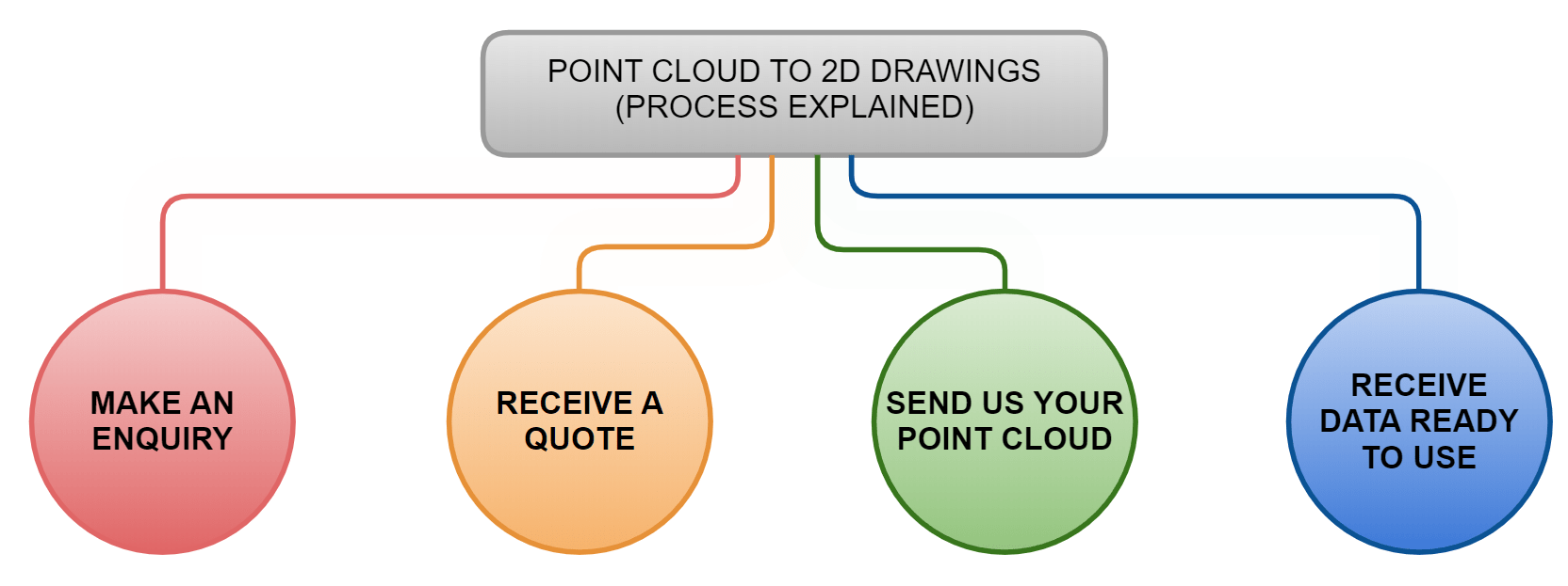
How Our Point Cloud Drafting Process Works
Get in touch with a member of our team via e-mail or telephone call. Our typical response time to e-mail enquiries is 10 minutes.
Our prices start from £45+VAT, however the exact cost is calculated individually for each project and depends on the following:
- Size of the building
- Building complexity
- Quantities of drawings required
Typically Point Clouds can be transferred to us suing once of the following ways:
- WeTransfer
- DropBox
- Google Drive
- Mega
- Hard drive or memory stick
Our typical turnaround time is 3-5 working days. Once all As-Built CAD plans and drawings are completed we will send them to you via email.
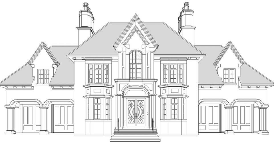
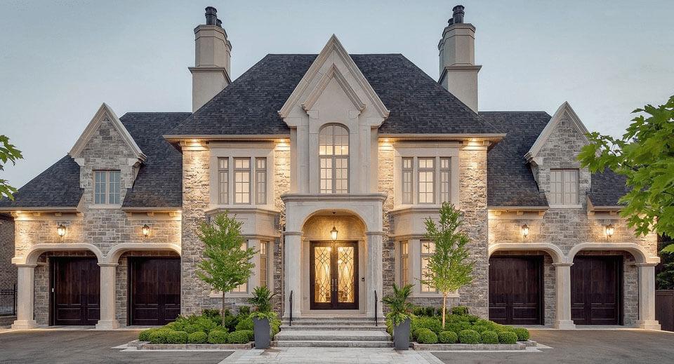
Sample of As-Built CAD Drawings from Point Cloud Files
Why Choose Our Scan to CAD Services?
No Projects, No Expenses
Only pay for the services of experienced CAD & Revit specialists when you have an active project. Avoid the overhead of full-time in-house draftsmen.
Cost-Effective Scan to CAD
We have dedicated teams specializing strictly in “Scan2CAD” and “Scan2BIM” services. What takes over a week for a general CAD technician will only take a few days for our specialized team, allowing us to significantly reduce your costs.
Speed & Availability
Our typical turnaround time for most projects is just 3 working days. We can start drafting your floor plans, sections, and elevations on the exact same day we receive your point cloud data.
Proven Experience
Our team of CAD experts has years of experience extracting accurate 2D DWG drawings from point clouds for projects of all sizes—starting from small residential houses and finishing with large commercial warehouses and hotels.
Our Recent Point Cloud to DWG Projects


