

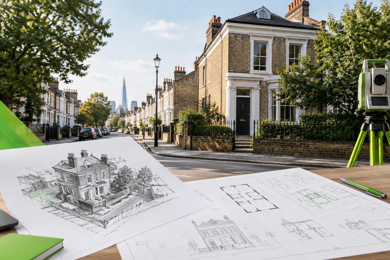
Planning application drawings need to explain both the site and the proposal clearly enough for the Local Planning Authority to validate and assess the application. This guide separates the national minimum from the drawings commonly requested for London projects.
What drawings are normally needed for a planning application?
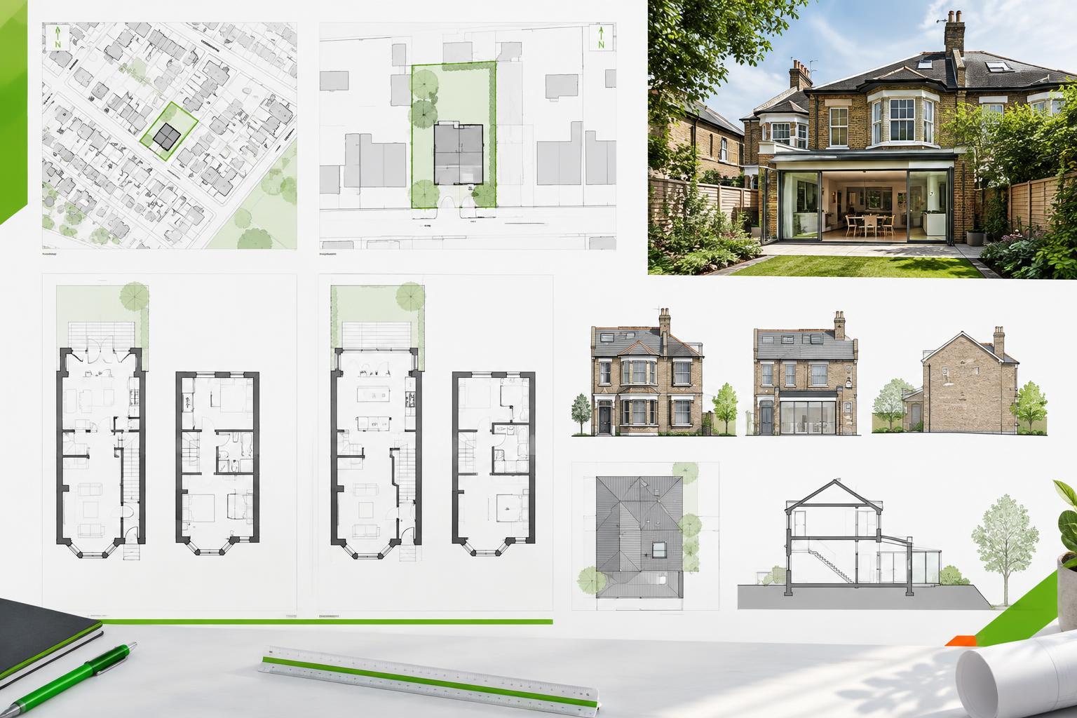
Planning drawings are not a fixed universal pack. The national rules set a minimum, while councils can ask for additional information through their local validation requirements where it is reasonable and relevant. For a typical London householder project, the drawing set often includes a location plan, a site or block plan, existing and proposed floor plans, elevations, a roof plan and sections where the proposal changes levels, roof form or building height.
| Drawing | What it normally shows | When it is commonly relevant |
|---|---|---|
| Location plan | The application site in its surrounding context, normally on an up-to-date map with the site edged red. | Required for most planning applications and the national minimum identified by GOV.UK. |
| Site / block plan | Buildings, boundaries, access, nearby features and the proposal in relation to the site. | Common where footprint, access, boundaries or site layout changes. |
| Existing floor plans | The current internal arrangement and building footprint. | Common for extensions, lofts, layout changes and other work where the existing building must be understood. |
| Proposed floor plans | The intended layout after the work. | Common wherever floor area or internal/external layout changes. |
| Existing & proposed elevations | External faces of the building before and after the proposal. | Common where the external appearance changes. |
| Roof plan | Roof shape, ridges, valleys, dormers, rooflights and other roof work. | Loft conversions, roof alterations, first-floor/two-storey extensions and other roof changes. |
| Section | A cut through the building or site showing heights, levels and relationships. | Lofts, basements, level changes, complex extensions and projects where vertical relationships matter. |
National requirements and local validation lists
GOV.UK states that an application for planning permission must include plans and drawings. As a minimum, a location plan is required. Additional plans and drawings will usually be necessary to describe the proposed development. Plans must be drawn to an identified scale, and plans should show north. Councils can also maintain local lists of information requirements, so the same type of project can require a slightly different submission package in different London boroughs.
This is why a generic internet checklist is not enough on its own. Before finalising the drawing set, identify the application type and check the current validation list published by the borough that will determine the application.
What makes a planning drawing valid and useful?
Drawn to an identified scale
Planning drawings need a recognised metric scale. Planning Portal guidance commonly refers to 1:50 or 1:100 for building plans, elevations and sections, with other scales used where appropriate.
Clear existing and proposed information
The decision-maker should be able to understand what is there now and what will change. Existing and proposed drawings should be clearly labelled and internally consistent.
Correct site context
The location plan and, where required, block/site plan should show the proposal in relation to boundaries, surrounding buildings, access and other relevant features.
Consistent geometry
Floor plans, elevations, roof plans and sections should agree with one another. Conflicting heights, wall positions or roof geometry can delay validation or create ambiguity.
Why accurate existing drawings matter
Proposed planning drawings are usually developed from the existing building. If the starting information is wrong, the error can move through the whole design set: wall positions do not align, roof geometry is guessed, window positions shift between plans and elevations, or the proposed extension is dimensioned from an inaccurate base.
A measured survey is not a national requirement for every planning application. It is a practical way to create a reliable existing-condition base where suitable current drawings are unavailable, especially for older, altered or geometrically complex London properties.
A practical drawing workflow

Do planning drawings have to be prepared by an architect?
The planning system does not generally require ordinary planning drawings to be authored by a particular professional title. What matters for validation is that the required information is supplied clearly and accurately. In practice, homeowners often use an architect, architectural designer or technician to develop the proposal, while a measured survey company supplies the accurate existing base drawings.
Related planning guides
FAQ
Is a location plan always required?
GOV.UK identifies a location plan as the minimum planning drawing requirement. Most applications therefore require one, but you should still check the current application requirements for the exact consent route you are using.
Do I always need floor plans and elevations?
Not for every possible application type. They are common for householder and building alteration applications because they explain the existing building and proposed changes. The exact set should be checked against the Local Planning Authority’s current validation list.
Can I submit drawings copied from old plans?
Possibly, but only if they accurately represent the current building and meet the current drawing requirements. If the building has changed or the old drawings are not reliable, verify them or commission a new measured survey.
Official sources
Official guidance checked on 22 September 2026. The links below should be checked again when you use this article because rules and local requirements may change.
- Making an application — GOV.UK / MHCLG
- Plans and drawings — supporting document types — Planning Portal
- Planning checklists — householder application — Southwark Council
- Check your application is valid — Royal Borough of Kingston upon Thames
